Cuttings, Culverts and a Country Pub: Walking Kirkbymoorside's Old Railway
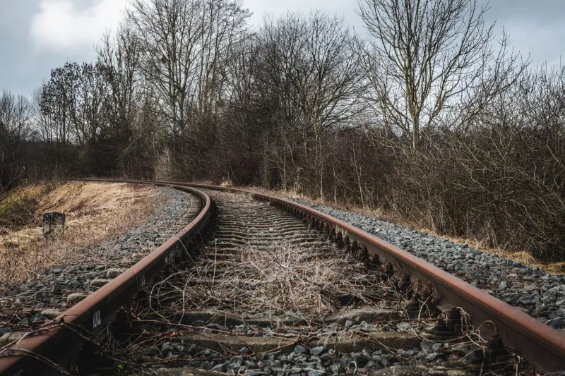
Every town has a road named after something it no longer does. Kirkbymoorside's is Station Road, and it points east, towards a small cluster of units and yards where the platforms used to be. There is no station there now, no signal, no smell of coal. Just the name, and a line of hedge that bends in a way hedges don't usually bend unless someone built a railway underneath them.
That's the walk. Not a heritage railway, not a preserved line with a gift shop — just a ghost of one, running quietly out of town towards the moors.
The Line That Came and Went
Kirkbymoorside sat on the Gilling and Pickering line, a rural branch of the North Eastern Railway that opened in 1875 and threaded its way across this part of the county via Helmsley, Nunnington, Sinnington and on to Pickering. It was never a grand trunk route. Single track, gentle speeds, a lot of livestock and a bit of coal — the sort of railway that existed because everywhere deserved one, not because everywhere needed one.
Passengers had it until September 1953, when the service quietly stopped. Goods traffic limped on for another decade or so, with Kirkbymoorside hanging on as a goods depot until around 1964. It's worth saying out loud: this wasn't Beeching. The axe fell here a decade before the famous report, which is why you'll meet plenty of people in the town with a grandparent who remembers the trains but nobody who remembers a closure campaign.
What that means for a walker in 2026 is good news. Because the line died slowly and quietly rather than being built over, substantial stretches of the trackbed survive — some as footpath, some as field boundary, some simply as a suspiciously straight, suspiciously wide strip of grass between two hedges.
Setting Off
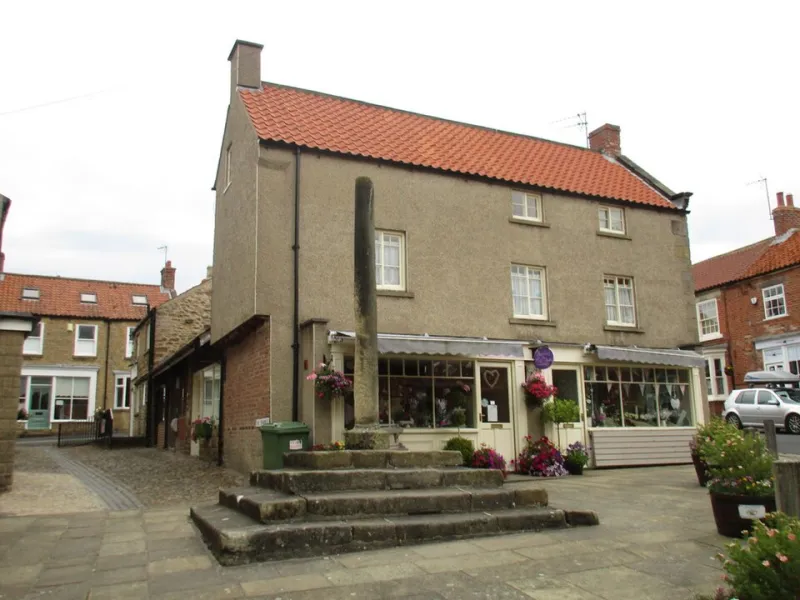
Start on the square, because that's what you do in Kirkbymoorside, and head up Station Road past the yards. Within ten minutes the buildings thin out and the ground begins to behave like an embankment: flat on top, falling away on either side, with a hedgerow running along the crown like a seam. That's your railway.
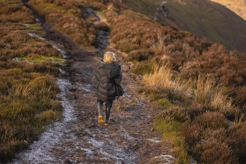
Follow it east. In November the going is soft — proper boots, not the trainers you wore to the shop — and the hedges are bare enough that you can see the shape of the thing: the shallow curve where the line eased around a rise, the dip where a culvert takes a field drain under the old formation, the odd brick or lump of stone that looks like it was placed by an engineer rather than a farmer.
You won't find much in the way of signage. That's part of the appeal. A few waymarks, a stile or two, and then a long green corridor that feels less like a right of way and more like a secret.
What Survives, and What Doesn't
Be realistic about this. There's no platform to stand on, no signal box, no ticket office to photograph. The station site itself is given over to small business units, and the best you'll manage is a glance at the gateposts and the knowledge that the ground under your feet once held a locomotive.
What does survive is the shape of the line — and that's more satisfying than a plaque. Look for:
- Embankments and cuttings. The railway couldn't follow the contours the way a lane can, so it cut through the high bits and was heaped up over the low ones. Once you know what you're looking at, they're obvious.
- Boundary hedges. Old railway boundaries were planted or laid to a standard, and some of these are centuries-younger than the field hedges beside them.
- Bridges and culverts. Small stone or brick structures, usually doing the job they were built for, usually ignored by everyone walking over them.
- Straightness. The single best clue. Nothing else in this landscape runs dead straight for a quarter of a mile and then curves gently, like it had somewhere to be.
Around Keldholme the walking flattens out and the line becomes more suggestion than structure, which is a natural place to turn for home.
The Return Leg
Don't retrace your steps. Come back on the lanes and field paths that thread south and west, picking up the outskirts of town near the golf course and dropping in past the last few houses. It's a round trip of roughly four miles, two hours at a conversational pace, with maybe 200 feet of gentle up and down across the whole thing. Nothing steep, nothing exposed — which makes it one of the better winter routes out of town when the tops are in cloud and the wind is doing its worst.
Just expect mud. This is a dismantled railway, not a promenade, and the drainage the navvies built has had 150 years to give up.
The Pub Question
You'll come back into town with wet boots and cold hands, and the correct response to that is a fire and a pint. The King's Head on the square is the obvious call — handsome, central, and used to walkers. The George and Dragon is the other reliable option a few steps away, and on a Saturday either will do the job nicely.
Some purists argue the correct order is a drink to celebrate the railway, then a second to mourn it. Nobody has ever convincingly disagreed.
Practical Bits for 2026
- Start: Kirkbymoorside Market Place. Free parking nearby; the town is also served by buses through from Helmsley and Pickering, so a carless version is perfectly doable.
- Distance: Around four miles, two hours, flat to gently rolling.
- Underfoot: Grass, mud, the odd stone track and a couple of stiles. Waterproof boots are non-negotiable from October to April.
- Dogs: Fine on the whole route, but there's livestock on the lane sections — leads, please.
- Best time: Late autumn through early spring, when the hedges are down and the line's shape shows. High summer, the corridor closes in and you'll be walking it by faith rather than by sight.
One last thing. Walk it slowly, and look back when you get to the far end. From that angle, with the embankment running away towards the town and the moors grey behind it, you can see exactly what the engineers saw: a line that made sense. It still does, just for different reasons.